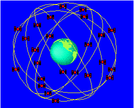
GPS in earthquakes studies
A perfect example of this three-part system
in application is the Southern California Integrated GPS Network (SCIGN.)
SCIGN is a network of continuously recording GPS
receivers throughout Southern California that have been installed in an
array to monitor the strain accumulation in Southern California's crust.
This is done with the help of the highly accurate measurements made by the
GPS system which allow scientists to record millimeter-scale slip on faults
that cannot ordinarily be measured. Understanding of area seismicity could
lead to a better understanding of the mechanics behind earthquakes
and to better assessment of earthquake hazards and damage estimates. Scientists
from NASA/JPL, Scripps
Institution of Oceanography, and the U.S.
Geological Survey use the data from this array to determine if small-scale
motion on faults between earthquakes can indicate precursor signs to an
event that may help to predict where and when an earthquake will likely
occur.
In the near future, this network will act
as a key in the improvement of emergency preparedness and response; determining
of aftershock risk areas following major earthquakes; helping prevent
destruction of buildings, property and infrastructure; advancing the understanding
of the earthquake process; providing better geophysical models; and the
opening of new directions in the field of solid earth dynamics.
What
is GPS?  How
does it work? GPS
in earthquakes studies Using
GPS to measure earthquakes How
does it work? GPS
in earthquakes studies Using
GPS to measure earthquakes
GPS
Activities
Last modified on 8/13/98 by Maggi Glasscoe (scignedu@jpl.nasa.gov)
|